North South Corridor Singapore: A Faster and More Efficient Way to Travel
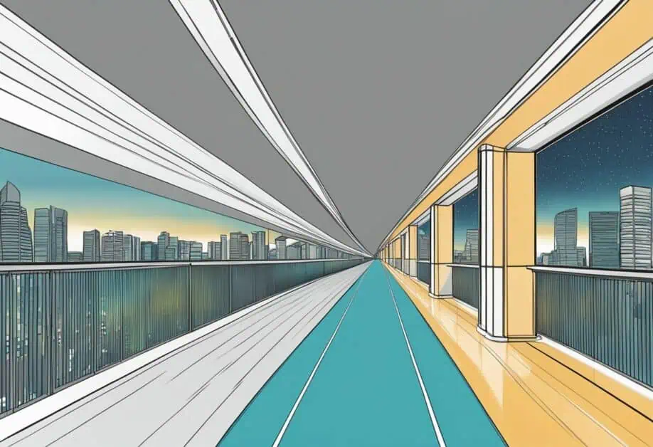
If you’re a driver in Singapore, you’ll be happy to know that the North-South Corridor is currently under construction. This new expressway will be the 11th of Singapore’s network of expressways when completed, and will connect the northern region to the city. It will feature a viaduct, a tunnel, and surface streets, and aims to enhance walking, cycling, and riding modes, relieve traffic, and support new developments along the corridor.
The Land Transport Authority (LTA) has awarded six contracts worth S$3.14 billion to design and construct the tunnels and commuter facilities for six sections of the North-South Corridor. Singapore’s first integrated transport corridor, the NSC will connect ECP in the south to Admiralty Road West in the north, and feature express bus routes and cycling trunk routes. The NSC will also be Singapore’s longest Transit Priority Corridor, featuring dedicated bus lanes, cycling trunk routes, and pedestrian paths.
Key Takeaways
- The North-South Corridor will be Singapore’s 11th expressway, and will connect the northern region to the city.
- The NSC aims to enhance walking, cycling, and riding modes, relieve traffic, and support new developments along the corridor.
- The NSC will be Singapore’s longest Transit Priority Corridor, featuring dedicated bus lanes, cycling trunk routes, and pedestrian paths.
Development and Construction
Planning and Design
When the Land Transport Authority (LTA) announced the North-South Corridor (NSC) project in 2017, it was clear that it was going to be a massive undertaking. The NSC is Singapore’s first integrated transport corridor, connecting the East Coast Parkway (ECP) in the south to Admiralty Road West in the north. The project was designed to meet the needs of public bus commuters, cyclists, and pedestrians, and to help achieve Singapore’s car-lite vision. The NSC will feature express bus routes and at-grade cycling trunk routes, making it easier for people to travel around the city.

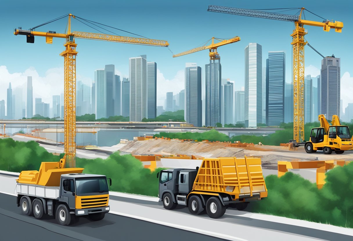
Construction Phases
Construction of the NSC started in 2018 and is expected to be completed in 2027. The project is divided into several phases, with each phase focusing on a specific section of the corridor. The first phase of the project involved the construction of a tunnel between Ang Mo Kio Avenue 9 and Sungei Seletar. The second phase of the project involved the construction of a viaduct between Sungei Seletar and Admiralty Road West.

Land Acquisition and Impact
The NSC project has also involved the acquisition of land along the corridor. The Singapore Land Authority (SLA) has been responsible for acquiring the land needed for the project. The SLA has worked closely with affected residents and businesses to ensure that the acquisition process is carried out in a fair and transparent manner. The SLA has also provided compensation to affected parties to help them relocate.
The construction of the NSC has had an impact on the surrounding areas. To minimize the impact, the LTA has worked closely with residents and businesses to ensure that disruptions are kept to a minimum. The LTA has also implemented safety measures to ensure that the construction site is safe for workers and the public. Contractors such as Wai Fong Construction and GS Engineering & Construction Corporation have been involved in the excavation works and the construction of the viaducts and tunnels. The concrete strength of the structures has been tested to ensure that they meet safety standards.
Overall, the development and construction of the NSC is a massive undertaking that will transform the way people travel around Singapore. The LTA has worked hard to ensure that the project is carried out in a safe and efficient manner, while also minimizing the impact on residents and businesses along the corridor.
Features and Benefits
Transportation Integration
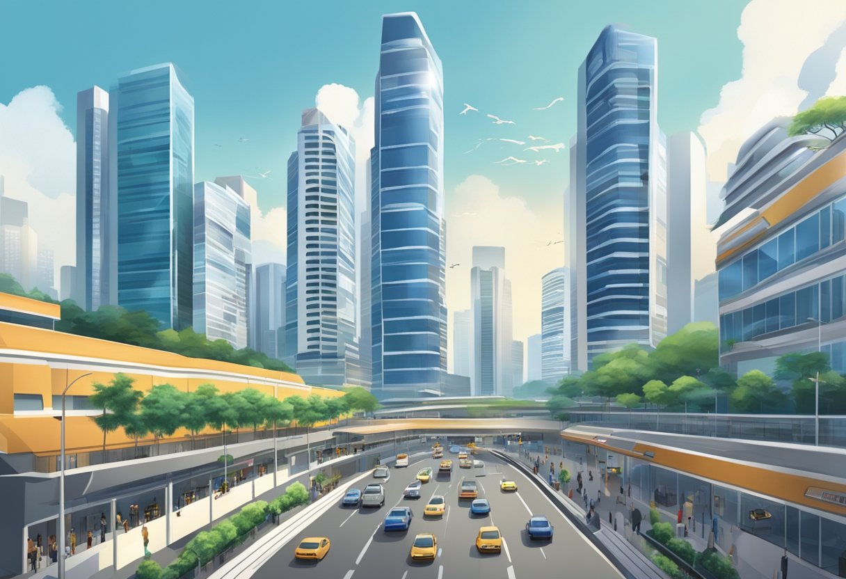
The North-South Corridor is a multi-modal transportation corridor that is designed to enhance connectivity from the northern region to the city. It will serve towns such as Sembawang, Yishun, Ang Mo Kio, Toa Payoh, Novena and Rochor. The corridor will integrate various travel modes including public transport, cycling, and walking with dedicated bus lanes, cycling trunk routes and pedestrian paths. This integration will make it easier for you to travel between different parts of Singapore, especially if you are a bus commuter or cyclist.
Community and Connectivity
The North-South Corridor will connect towns and communities, making it easier for you to access various amenities and services. It will also create new community spaces and public spaces, which will enhance the quality of life for residents in the surrounding HDB towns. The corridor will also improve connectivity between the northern region and the city centre, which will benefit businesses and residents alike.
Urban Development and Accessibility
The North-South Corridor is part of Singapore’s car-lite vision, which aims to reduce the number of cars on the road and promote sustainable modes of transport. The corridor will feature dedicated bus lanes and cycling trunk routes, which will encourage more people to use public transport, cycling and walking. This will reduce traffic congestion and improve air quality, making Singapore a more liveable city. The corridor will also create new developments and residential units, which will provide more housing options for residents in the northern region. Finally, the corridor will feature green spaces and enhance accessibility, making it easier for cyclists and pedestrians to move around Singapore.
In summary, the North-South Corridor is an integrated transport corridor that will benefit Singapore in many ways. It will improve transportation integration, community and connectivity, and urban development and accessibility. Whether you are a bus commuter, cyclist, or pedestrian, the corridor will make it easier for you to move around Singapore.
Frequently Asked Questions
What is the intended purpose of the North-South Corridor?
The North-South Corridor is a multi-modal transportation corridor in Singapore that aims to enhance connectivity from the northern region to the city. It will serve towns such as Sembawang, Yishun, Ang Mo Kio, Toa Payoh, Novena and Rochor. The corridor will integrate various travel modes with dedicated bus lanes, cycling trunk routes and pedestrian paths.
How extensive is the North-South Corridor?
The North-South Corridor is 21.5 km long and is Singapore’s longest Transit Priority Corridor.
Which expressways does the North-South Corridor connect?
The North-South Corridor will directly connect the northern region to the city centre and support new developments in the northern region. It will relieve existing high traffic demand between North and South (e.g. on Central Expressway, Bukit Timah Expressway).
What is the projected cost of the North-South Corridor project?
The projected cost of the North-South Corridor project is $7.47 billion.
When is the expected completion date for the North-South Corridor?
The expected completion date for the North-South Corridor is 2027.
Can you provide the latest updates on the North-South Corridor’s construction progress?
As of the latest update, the foundations for road tunnels are about 50% complete, and the project is approaching the halfway point of its nine-year construction timeline. The Land Transport Authority (LTA) and National Parks Board (NParks) are seeking public views on how the surface streets that will be freed up with the North-South Corridor can be enhanced further for accessibility, greenery, and recreational uses.