Last updated 7 August 2026. This page was reviewed on that date. Prices, rates and opening hours change often in Singapore — confirm anything that matters directly with the business before you travel or spend.
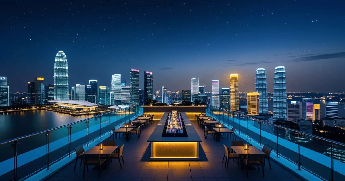
Quick answer: For a special meal with a view, CÉ LA VI and Spago sit 57 floors up at Marina Bay Sands and feel properly special. SKAI on level 70 of Swissôtel The Stamford does grilled steaks with a sake list, while Mr. Stork keeps things breezy with teepee huts and cocktails on the 39th floor. LeVeL33 is the one for beer lovers – they brew on site.
You want a night where you walk in and feel the shift. Not a standard dinner—a table at height, city lights doing half the work. This is your shortlist. Pick one. Chope your spot. Show up looking like you own the roof. The skyline and service handle the rest. Make the first impression count.

One of 42 guides in Best Restaurants in Singapore by Occasion — worth a look if you are still weighing options.
How to choose
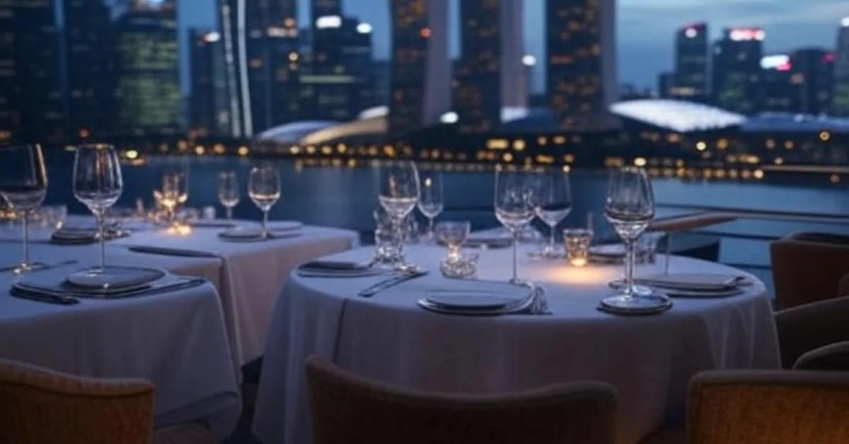
These places are not cheap, so start with what kind of evening you actually want. If it is a wedding anniversary or a big-deal birthday where you want to dress up and feel fussed over, lean towards CÉ LA VI, Spago or SKAI. They have proper table-service dining and wine lists that run deep. If you are gathering a group of friends to catch up over drinks and small plates with the skyline as your backdrop, Mr. Stork, Lantern and LeVeL33 fit better. LAVO sits somewhere in the middle – you can have a full Italian meal or just drinks on the terrace.
Think about the view itself. Marina Bay Sands venues look out over the bay and the financial district. SKAI gives you the sweep from the Civic District to the sea. Mr. Stork, a little further inland, catches both the city and the coast. None of them have a bad angle, but if your heart is set on that classic postcard shot of the Marina Bay skyline, book one of the Sands spots.
Budget-wise, a meal with drinks at CÉ LA VI, Spago or SKAI can easily run past $150 a person. Lantern and Mr. Stork are more about drinks and bar bites, so the spend is gentler unless you really go for it. LeVeL33 and LAVO fall in between. All of them get busy on Friday and Saturday nights – book ahead, especially if you want a ledge table.
No paid entries here. If we have missed a good one, tell us and we will look into it.
CÉ LA VI

Up on level 57 of Marina Bay Sands Tower 3, CÉ LA VI is the one with the infinity pool edge and that full 360-degree sweep from the bay to the city. It does modern Asian cooking with a lot of confidence – think smoked black cod, Wagyu beef, and cocktails that arrive looking like small pieces of art. The room hums, the music is present but not shouting, and the service keeps things moving even when every table is full. It holds a TripAdvisor Travelers’ Choice Award and has been a go-to for out-of-town guests and locals marking something big for years.
When you want a night that delivers on every front, this is the move. Time your booking for sunset – the pool edge catches light like nothing else. Order a cocktail, let the waiter guide the rest. The room’s energy carries the evening without overwhelming. Dress sharp. You’ll look like you belong even if it’s your first time.
Address: Level 57, Hotel Tower 3, 1 Bayfront Avenue, Singapore 018971
Phone: +65 6508 2188
Hours: Monday–Friday 12:00 PM till late; Saturday–Sunday 11:00 AM till late
Price: $$$$
CÉ LA VI website
Book this when you want to impress. The view alone does half the work, and the kitchen matches it. If you have friends visiting who have never seen the Singapore skyline, just bring them here for sundown drinks and let the city do the talking.
Spago by Wolfgang Puck

Also on the 57th floor of Marina Bay Sands, Spago brings California ease to a fine-dining room that faces the same spectacular sweep of Marina Bay. The menu reads globally but cooks local where it counts – big eye tuna tartare cones, honey miso broiled black cod, seasonal plates that shift with what is good at the market. There is an alfresco infinity pool terrace for when the weather plays along. Forbes Travel Guide has given it Four Stars, and the TripAdvisor Best of the Best nod for fine dining backs up what the room already tells you: this is polished without being stiff.
Book the alfresco terrace if the weather allows. That space over the bay transforms a good meal into an evening people reshuffle calendars for. The kitchen reads global but cooks local where it counts. It is the choice when you want fine-dining comfort, not formality. You will feel properly hosted and completely unhurried.
Address: 10 Bayfront Avenue, Level 57, Marina Bay Sands, Singapore 018956
Phone: +65 6688 9955
Hours: Lunch 12pm–2pm (last seating); Dinner Sun–Thu 6pm–9:30pm, Fri–Sat 6pm–10pm (last seating)
Price: $$$$
Spago by Wolfgang Puck website
Go for a long, lazy lunch if you can swing a weekday off. The room is quieter then, the light is flattering, and you get the same kitchen at a pace that actually lets you talk. It is also a steady pick for a low-drama anniversary dinner – the kind where no one has to think too hard because everything just works.
No paid entries here. If we have missed a good one, tell us and we will look into it.
SKAI

Level 70 of Swissôtel The Stamford puts SKAI among the highest dining rooms in town, and the sunsets from up there are the real deal. The kitchen runs a Josper grill hard – steaks, aged tuna, seafood – with a Japanese accent that shows up in the small plates and the sake list. Michelin has taken notice, and the room itself shifts smoothly from business lunches to late-night drinks over the Marina Bay backdrop. It feels buzzy in the evening, a little more sharp-suited by day.
Book a window table for sunset. Don’t blur – these go early. Up there, the light show over Marina Bay is what you came for. Let the Josper grill do its work – steaks and seafood arrive with proper char. The sake list is serious, so lean in. A dinner here sets a new standard for what a view can mean.
Address: Level 70, Swissôtel The Stamford, 2 Stamford Road, Singapore 178882
Phone: +65 6431 6156
Hours: Daily 12pm – 12am
Price: $$$$
SKAI website
This is the one for a high-stakes business dinner where you want the view to do some of the persuasion for you. It is also a solid choice if your partner is a steak person and you want something beyond the usual grillhouse – the Japanese touches keep things interesting without trying too hard.
If you are mapping out a proper food trail, you might also enjoy our picks for Chinese Restaurants in Singapore for an Unforgettable Dining Experience or the Korean BBQ Restaurants in Singapore for an Dining Experience round-up.
Lantern

Sitting on top of The Fullerton Bay Hotel, Lantern feels more like a chic poolside escape than a rooftop bar – lots of greenery, low-slung lounges, and a view of Marina Bay that feels closer to the water than the skyscraper perches. The food is international and easy: Caesar salads, chicken pasta, gourmet snacks, all built with an eye on sustainable ingredients. It opens at 5pm and runs late, picking up a TripAdvisor Travelers’ Choice nod for the setting alone.
Pick this one when the goal is a date where you can actually talk. The greenery and low-slung lounges make it feel like a secret above the water. Order the snacks, settle in past sunset. Plan swee – book for golden hour and let the lanterns take over. No rush, just the right rhythm.
Address: The Fullerton Bay Hotel, 80 Collyer Quay, Singapore 049326
Phone: +65 3129 8229 (Dining Reservations)
Hours: Sunday–Thursday 5:00 PM–1:00 AM; Friday–Saturday 5:00 PM–2:00 AM
Price: $$–$$$
Lantern website
This one works well for a date that starts at sunset and drifts into evening. The perspective is lower than the Sands towers, so the bay feels almost within reach. Grab a spot early, order a round of drinks, and let the light change – you do not need a big meal here, just good company and a willingness to linger.
LeVeL33

The world’s highest urban microbrewery sits on level 33 of Marina Bay Financial Centre Tower 1, and they are serious about the beer. House brews run through the taps and into the kitchen, where you will find things like spent grain pasta and dishes built to match what is on draft. The seafood and produce lean sustainable, and the Guinness World Records recognition is legit – nobody else is brewing at this altitude. The room is more casual than the Sands dining rooms, with a steady, unpretentious energy.
You come here for the beer – start there. The house brews are world-class, and the kitchen matches them with dishes like spent grain pasta. It is a sky view restaurant that understands drinkers. Choose it for a post-work session where conversation flows as easily as the taps. The city lights below are the backdrop to a solid, satisfying evening.
Address: 8 Marina Boulevard #33-01, Marina Bay Financial Centre Tower 1, Singapore 018981
Phone: +65 6834 3133
Hours: 12:00 PM to 11:00 PM daily
Price: $$–$$$
LeVeL33 website
Bring your beer-kaki here. Sit outside if the weather holds, order a tasting paddle to find your favourite, and work through the food menu slowly. It is also a good shout when you cannot agree on a fancy dinner but still want a skyline – the bill is friendlier, and nobody needs to wear a collar.
For more ideas when the occasion calls for a bit of candlelight, see our list of Romantic Restaurants in Singapore. And if you are exploring the west, we have Restaurants in Tiong Bahru for an Unforgettable Dining Experience too.
Mr. Stork

Up on level 39 of Andaz Singapore, Mr. Stork is the one with the teepee huts scattered across a rooftop garden, 360-degree views that run from the city all the way out to the sea, and a drinks list built for easy evenings. Signature cocktails, the Andaz Pale Ale, sliders, sushi rolls, cheese boards – nothing too heavy, everything designed to share. It opens at 5pm and stays open late, and the garden vibes make it feel less like a bar and more like a friend’s very well-stocked rooftop.
Go for the teepee huts – they give you your own pocket of privacy. Book early to secure one. The menu is built for grazing: sliders, sushi rolls, signature cocktails. It is designed for long, easy evenings with the sea breeze and a full sweep of city lights. No effort required, just the right company.
Address: Level 39, Andaz Singapore, 5 Fraser Street, Singapore 189354
Phone: +65 9008 7707
Hours: Sunday–Thursday 5:00pm–12:00am; Friday & Saturday 5:00pm–1:00am
Price: $$–$$$
Mr. Stork website
Chope one of those teepee huts for a birthday catch-up or a chill date. The 360-degree perch means you get a different scene whichever way you turn, and the crowd skews young and cheerful. Go on a weekday if you want a quieter corner – weekends fill up fast and the huts are first to go.
LAVO Italian Restaurant and Rooftop Bar

Back at Marina Bay Sands, on level 57 of Tower 1, LAVO does big, generous Italian-American cooking with a side of DJ energy. Chicken parmigiano, handcrafted cocktails, and a 20-layer chocolate cake that has become a reason to visit all on its own. The terrace bar keeps the evening going, and Wine Spectator has given it a Best of Excellence nod for the wine list. It carries a TripAdvisor Travelers’ Choice award too, and feels more party-ready than its neighbours on the same floor.
Jio your kakis. This is the one for celebrations that need generous portions, big energy, and a cake that ends the night with a statement. Start with the chicken parmigiano, let the DJ set the tempo, then move to the terrace bar. Booking ahead is non-negotiable – the secret is out. Make it your own.
Address: Hotel Tower 1, Level 57, Sands SkyPark
Phone: +65 6688 8591
Hours: Sun–Thu 11am–12am; Fri, Sat & eve of PH 11am–1am
Price: $$$–$$$$
LAVO Italian Restaurant and Rooftop Bar website
Come here when the plan is a big group dinner that slides into drinks without anyone needing to move. The portions are meant for sharing, the music picks up as the night goes on, and that chocolate cake is genuinely worth saving room for. It is less about a quiet conversation and more about letting the evening happen.
Comparison at a glance
| Restaurant | Level | Vibe | What to order | Price signal |
|---|---|---|---|---|
| CÉ LA VI | 57 (MBS Tower 3) | Polished, buzzy, full-service | Smoked black cod, Wagyu | $$$$ |
| Spago | 57 (MBS Tower 2) | Relaxed elegance, alfresco terrace | Tuna tartare cones, miso black cod | $$$$ |
| SKAI | 70 (Swissôtel) | Grill-house with Japanese flair | Josper-grilled steaks, aged tuna | $$$$ |
| Lantern | Rooftop (Fullerton Bay) | Poolside, tropical, intimate | Caesar salad, cocktails | $$–$$$ |
| LeVeL33 | 33 (MBFC Tower 1) | Brewery-casual, urban | House beers, spent grain pasta | $$–$$$ |
| Mr. Stork | 39 (Andaz) | Garden rooftop, teepee huts | Sliders, Andaz Pale Ale, cocktails | $$–$$$ |
| LAVO | 57 (MBS Tower 1) | Lively, Italian-American, DJ | Chicken parmigiano, 20-layer cake | $$$–$$$$ |
Summary
Each of these seven spots gives you a different slice of Singapore from above. For a full, dressed-up dinner with a view that matches the bill, CÉ LA VI, Spago and SKAI lead the pack. For drinks, bar bites and a more relaxed spend, Mr. Stork, Lantern and LeVeL33 make it easy. LAVO brings a party mood if that is how the night is heading. Pick your occasion first – the view will be there whichever you choose.
Disclaimer: All information provided here has been compiled from publicly available sources. While we have made every effort to ensure accuracy, details can change – please confirm with the business directly before making plans.
Read next
Frequently asked questions
Which sky view restaurant is best for a first anniversary?
Spago and Lantern both work well. Spago feels properly fine-dining without being intimidating, and the sunset from the 57th floor makes a strong impression. Lantern is lower, poolside and more intimate, so it suits a quieter, longer evening.
Do I need to book these restaurants in advance?
Yes, especially for Friday and Saturday evenings and for ledge or terrace tables. Some, like Spago and SKAI, take lunch bookings during the week as well, which are a bit easier to secure.
Are these places suitable for a group of friends rather than a date?
Mr. Stork, LeVeL33 and LAVO are the most natural for groups. Mr. Stork has teepee huts and garden seating, LeVeL33 suits a beer-loving crowd, and LAVO has big-sharing Italian plates and a DJ.
Is there a sky view restaurant that is not inside Marina Bay Sands?
SKAI on level 70 of Swissôtel The Stamford, Lantern at The Fullerton Bay Hotel, Mr. Stork at Andaz Singapore, and LeVeL33 at Marina Bay Financial Centre all sit outside Marina Bay Sands and each gives a distinct view of the city or bay.
What is the price range for a meal at these restaurants?
The Marina Bay Sands dining rooms – CÉ LA VI, Spago, LAVO – tend to run above $150 per person with drinks. SKAI is in a similar range. Lantern, Mr. Stork and LeVeL33 are more moderate if you stick to drinks and bar bites, with meals generally under $100 per person before drinks.
Can I just go for drinks without eating a full meal?
Yes, all of them have bar areas or terrace seating where you can order drinks and bar bites only. Mr. Stork and Lantern are especially set up for this, and LeVeL33 is a working microbrewery where a tasting paddle makes a lot of sense.