Singapore LRT Map: Navigating the City with Ease
If you’re planning a trip to Singapore, then you’ll want to familiarize yourself with the city’s public transportation system. One important aspect of this system is the LRT, or Light Rail Transit, which provides convenient and affordable transportation to many parts of the city.

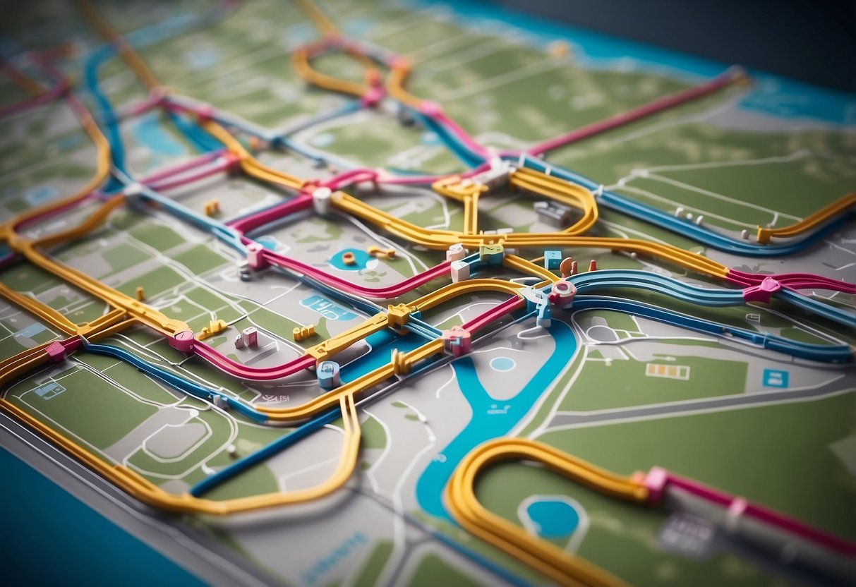
The Singapore LRT map is an essential tool for navigating this system. This map shows the various LRT lines and stations throughout the city, making it easy to plan your route and get to your destination quickly and efficiently. Whether you’re a local resident or a visitor to the city, the LRT map is a valuable resource for getting around Singapore.
In this article, we’ll provide an overview of Singapore’s LRT system and how to navigate the LRT map. We’ll also answer some frequently asked questions about the system, so you can feel confident and prepared when using this mode of transportation. So, let’s get started!
Key Takeaways
- The Singapore LRT system is an important part of the city’s public transportation network.
- The LRT map is a valuable resource for navigating the system and getting to your destination quickly and efficiently.
- By familiarizing yourself with the LRT system and map, you can travel with confidence and ease throughout Singapore.
Overview of Singapore’s LRT System
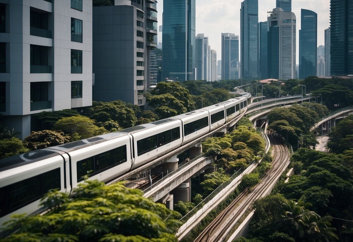
If you’re planning to travel around Singapore, it’s important to understand the MRT and LRT networks. The LRT (Light Rail Transit) system is a series of localised automated guideway transit systems acting as feeder services to the heavy rail Mass Rapid Transit (MRT). Together, they form the core of Singapore’s rail transport services. Here’s what you need to know about Singapore’s LRT system:

Understanding MRT and LRT Networks
The MRT and LRT networks are interconnected, providing seamless travel across the island. The LRT system operates in four areas: Bukit Panjang, Sengkang, Punggol, and Choa Chu Kang. The LRT lines are color-coded and numbered for easy identification. The LRT lines are also integrated with the MRT system, making it easy to transfer between the two.
Key LRT Lines and Stations
The Bukit Panjang LRT line is a 7.8 km line that runs through the Bukit Panjang area. It has 14 stations and connects with the Downtown Line at Bukit Panjang MRT station. The Sengkang LRT line is a 10.7 km line that serves the Sengkang area. It has 14 stations and connects with the North-East Line at Sengkang MRT station. The Punggol LRT line is a 10.3 km line that serves the Punggol area. It has 15 stations and connects with the North-East Line at Punggol MRT station. The Choa Chu Kang LRT line is a 4.8 km line that serves the Choa Chu Kang area. It has 10 stations and connects with the North-South Line at Choa Chu Kang MRT station.
Integration with MRT and Feeder Services
The LRT system is designed to provide feeder services to the MRT system. It is also integrated with other feeder services such as bus services and taxi stands. This makes it easy to transfer between different modes of transportation. The LRT stations are equipped with facilities such as ticketing machines, passenger information systems, and public toilets to ensure a comfortable and convenient travel experience.
Overall, Singapore’s LRT system is an efficient and convenient way to travel around the island. With its seamless integration with the MRT system and feeder services, it provides a hassle-free travel experience.
Navigating the LRT Map

When exploring Singapore, the LRT (Light Rail Transit) system can be a convenient way to get around. To navigate the LRT map, you need to understand the different types of maps available, how to read them, and where to find mobile-friendly resources.
Reading the Schematic and Geographic Maps
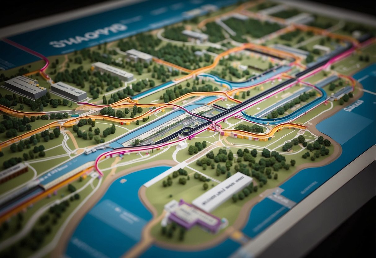
The LRT system has two types of maps: schematic and geographic. The schematic map shows the LRT lines and stations in a simplified, diagrammatic way. The geographic map, on the other hand, shows the actual locations of the stations and how they relate to the surrounding area.
When reading the schematic map, you can easily identify the different LRT lines and their respective stations. The map also shows the interchange stations where you can switch between different lines. On the other hand, the geographic map provides a better understanding of the station’s location in relation to the surrounding area.
Accessibility and Mobile-Friendly Resources
To make it easier for commuters to navigate the LRT system, the LTA (Land Transport Authority) has made the LRT map available in various formats. You can access the map on the LTA website in PDF format, which you can download and print. Additionally, you can find the map in multiple languages, making it accessible to non-English speakers.

If you prefer browsing on your phone, the LTA has also made the LRT map mobile-friendly. You can easily access the map on your phone and zoom in to see the details. The mobile-friendly version is especially useful when you’re on the go and need to quickly check the LRT map.
Station Names and Placement of Items
The LRT map includes the names of all the stations in the system, making it easy to identify the station you need to get to. When reading the map, you can also see the location of each station and how it relates to other stations in the system.
To make the LRT map more readable, the LTA has placed the items on the map in a logical order. The map is easy to follow, and you can quickly find the information you need.
If you plan on using the LRT system frequently during your stay in Singapore, consider purchasing the Singapore Tourist Pass. The pass allows you to travel on the LRT and other public transport systems in Singapore, making it a convenient and cost-effective way to explore the city.
Navigating the LRT map can be a breeze when you know where to find the right resources and how to read the different types of maps. With the help of the LTA’s mobile-friendly and multilingual resources, you can easily explore the city using the LRT system.
Frequently Asked Questions
How can I download the latest Singapore LRT map?
You can easily download the latest Singapore LRT map from the official website of Land Transport Authority (LTA). The map is available in both PDF and JPG formats.
Where can I find a high-resolution Singapore MRT map for 2024?
You can find a high-resolution Singapore MRT map for 2024 on the official website of LTA. The map is available in both PDF and JPG formats and can be downloaded for free.
What are the main differences between the MRT and LRT systems in Singapore?
The main differences between the MRT and LRT systems in Singapore are their capacity, speed, and the areas they serve. MRTs are larger and faster and serve the main city areas, while LRTs are smaller and slower and serve the suburban areas.
How many LRT stations are currently operational in Singapore?
As of 2024, there are a total of 23 LRT stations operational in Singapore. They are spread across four different LRT lines.
What’s the name of the smallest MRT station in Singapore?
The smallest MRT station in Singapore is Telok Ayer MRT station. It is located on the Downtown Line and has only one platform.
Could you tell me the total number of MRT lines featured on Singapore’s map?
As of 2024, there are a total of six MRT lines featured on Singapore’s map. They are the North-South Line, East-West Line, Circle Line, Downtown Line, North East Line, and Thomson-East Coast Line.