Rain Radar Singapore: Track the Latest Rainfall in Real-Time
Do you ever find yourself caught in a sudden downpour without an umbrella? Or do you need to plan your day around the weather forecast? In Singapore, where rain is frequent and unpredictable, it’s essential to stay informed about the weather. Luckily, Singapore has advanced meteorological technology, including rain radar, to help you stay ahead of the weather.

Rain radar technology is an essential tool used by meteorologists to detect and track rain clouds. It works by sending out radio waves that bounce off precipitation in the atmosphere. The radar then receives these waves and uses the information to create a visual map of the rain clouds in the area. This technology allows meteorologists to accurately predict the timing, intensity, and location of rain, making it easier to plan your day.
In Singapore, the Meteorological Service Singapore (MSS) provides rain radar services to the public. These services include real-time rain radar images and 24-hour weather forecasts. By using these services, you can stay informed about the weather and plan your activities accordingly. Whether you’re planning a day out with friends or need to prepare for an outdoor event, rain radar technology can help you stay one step ahead of the weather.
Key Takeaways
- Rain radar technology is used to detect and track rain clouds.
- The Meteorological Service Singapore (MSS) provides rain radar services to the public.
- By using rain radar services, you can stay informed about the weather and plan your activities accordingly.
Understanding Rain Radar Technology
Basics of Weather Radar
Rain radar technology is a type of weather radar that is used to detect and track precipitation. The radar emits radio waves that bounce off of the raindrops in the atmosphere and then returns to the radar. The radar then analyzes the returned signal to determine the location, intensity, and movement of the precipitation.

Radar Observation and Precipitation Analysis
Rain radar technology is an essential tool for meteorologists to observe and analyze precipitation patterns and intensity. The intensity of rainfall can be analyzed by measuring the reflectivity of the radar signal. The reflectivity increases with the size and number of raindrops in the atmosphere.
Rain radar technology can also be used to track the movement of precipitation over time. This information is crucial for predicting and preparing for potential flooding or other weather-related hazards.
Advancements in Radar Technology
Over the years, rain radar technology has advanced significantly. Newer radars use X-band or C-band frequencies, which provide higher resolution and more accurate data. The X-band frequency is particularly useful for detecting small raindrops, while the C-band frequency is better for tracking larger raindrops and detecting hail.
Satellites have also been used to supplement rain radar technology. Satellite data can provide a broader view of precipitation patterns and can help fill in gaps where radar coverage is limited.
In conclusion, rain radar technology is an essential tool for meteorologists to observe and analyze precipitation patterns and intensity. With advancements in radar technology and the use of satellite data, we can continue to improve our understanding of weather patterns and prepare for potential weather-related hazards.
Using Rain Radar Services in Singapore
If you’re living in Singapore, you know that the weather can be unpredictable. One moment it’s sunny and the next moment it’s pouring rain. Fortunately, there are rain radar services available that can help you prepare for the weather ahead. In this section, we’ll explore how to use rain radar maps, mobile apps, and weather preparedness tips to stay safe and dry.
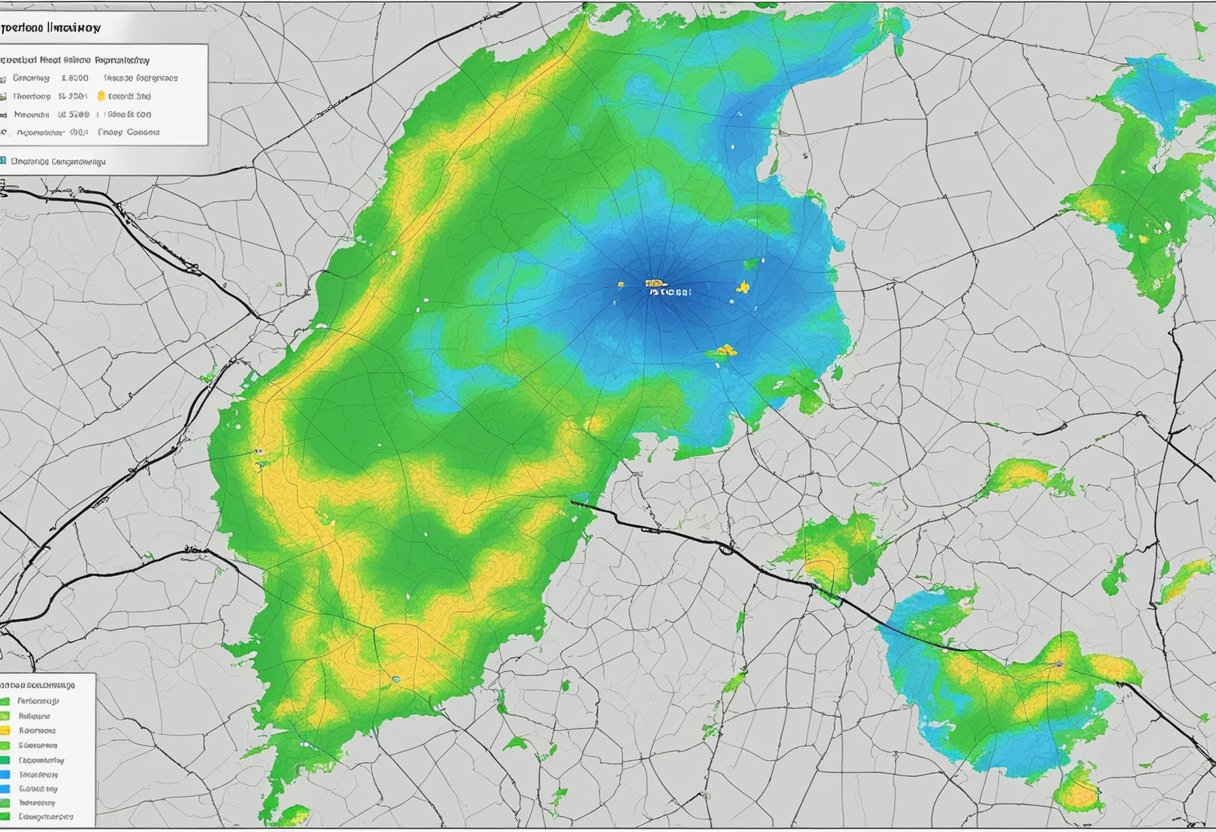
Interpreting Rain Radar Maps
Rain radar maps are a visual representation of the current and future weather conditions in Singapore. They show the location and intensity of rainfall, storms, and other weather patterns. When interpreting these maps, keep in mind that:

- Green areas indicate light rainfall.
- Yellow areas indicate moderate rainfall.
- Red areas indicate heavy rainfall.
- Purple areas indicate very heavy rainfall.
By using these colours, you can quickly understand the intensity of the rainfall in your area. You can also use the maps to track the movement of storms and other weather patterns.
Mobile Apps for Rain Radar
There are several mobile apps available for both Android and iOS that provide real-time rain radar maps for Singapore. One popular app is RainViewer, which updates every ten minutes and provides accurate forecasts for the next two hours. Other apps, such as AccuWeather, also provide detailed weather forecasts and alerts for storms, snow, and hail.
Weather Preparedness and Safety Tips
While rain radar maps and mobile apps can help you prepare for the weather, it’s important to take additional steps to ensure your safety during heavy rainfall. Here are some tips to keep in mind:
- Stay indoors during heavy rainfall, especially if there is lightning.
- If you must go outside, wear appropriate clothing and footwear to stay dry.
- Avoid walking or driving through flooded areas.
- If you’re driving, reduce your speed and increase your following distance to avoid accidents.
- Check the weather forecast before heading out, and plan your activities accordingly.
By following these tips and using rain radar services, you can stay safe and dry during Singapore’s unpredictable weather.
Frequently Asked Questions
How can I interpret the rain radar images for Singapore?
Interpreting Singapore’s rain radar images is easy. The images show the location and intensity of rainfall in Singapore and the surrounding areas. Areas with heavier rainfall are represented by darker shades of blue. The lighter shades of blue indicate areas with lighter rainfall. The images also show the movement of rain clouds, which helps in predicting the weather patterns.
Where can I find real-time updates on rainfall areas in Singapore?
You can find real-time updates on rainfall areas in Singapore on the website of the Meteorological Service Singapore. The website provides near real-time pictorial representation of the location and intensity of rainfall over Singapore and the surrounding region. You can also access readings on the total amount of rain which has fallen for the day at the Current Observations page.
What’s the best way to access Singapore weather radar data?
The best way to access Singapore weather radar data is through the website of the Meteorological Service Singapore. The website provides real-time updates on rainfall areas in Singapore, as well as other weather-related information such as temperature, humidity, and wind speed.
Can I get hourly forecasts of rain in Singapore?
Yes, you can get hourly forecasts of rain in Singapore on the website of the Meteorological Service Singapore. The website provides hourly updates on rainfall areas in Singapore, as well as other weather-related information such as temperature, humidity, and wind speed.
How does the rain radar help in predicting weather patterns?
The rain radar helps in predicting weather patterns by showing the movement of rain clouds. The images provide a near real-time pictorial representation of the location and intensity of rainfall over Singapore and the surrounding region. This information helps meteorologists to forecast weather patterns and predict when and where rain will fall.
Is there a mobile app that provides Singapore rain radar imagery?
Yes, there is a mobile app called “Weather@SG” that provides Singapore rain radar imagery. The app is available for download on both iOS and Android devices. It provides real-time updates on rainfall areas in Singapore, as well as other weather-related information such as temperature, humidity, and wind speed.